The Use of Drones in Forestry: Monitoring Forest Health and Fighting Fires
Drones are revolutionizing the way we manage forests and fight wildfires. These unmanned aerial vehicles can go where humans cannot, providing critical data and insights that help us protect our natural resources. Here are some incredible examples of how drones are being used in forest management:
Forest Patrol Drones
One of the most exciting applications of drones in forest management is for forest patrol. Instead of having humans hike through the woods to check for damage or hazards, drones can fly overhead and take high-resolution images and video. This allows forest managers to detect issues like erosion, invasive species, and illegal logging.
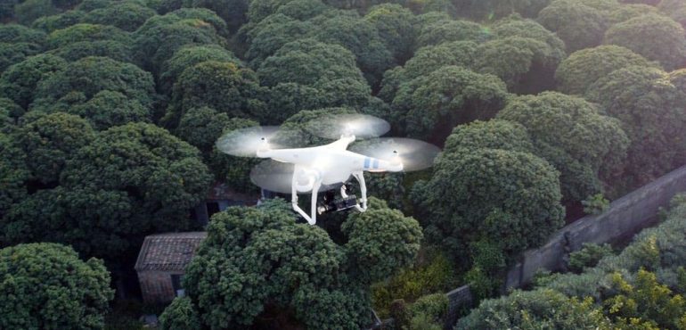
These forest patrol drones are equipped with high-tech sensors that can detect changes in forest conditions. For example, they can detect variations in temperature, humidity, and carbon dioxide levels, providing valuable data to forest managers. With this data, forest managers can identify problem areas and take action before the situation worsens.
Firefighting Drones
Drones are also incredibly useful for fighting wildfires. Traditional aerial firefighting methods involve using planes and helicopters to drop water and retardant on the flames. However, this can be dangerous for pilots and expensive for fire departments. Drones can provide a much safer and cost-effective alternative.

Firefighting drones can be equipped with thermal cameras that detect hot spots in the fire. This information is sent back to firefighters on the ground, allowing them to focus their efforts where they’re most needed. Drones can also be used to drop fire retardant on the fire, helping to contain it and prevent it from spreading.
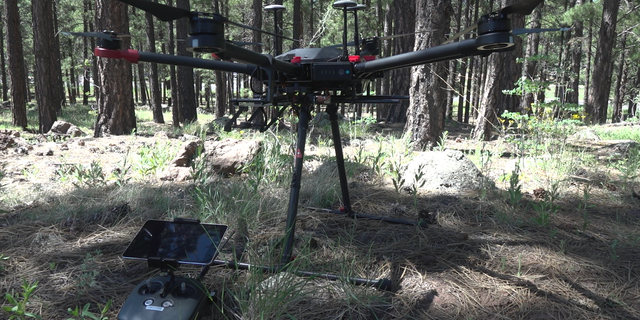
Forestry Management Drones
In addition to forest patrol and firefighting, drones are also useful for general forestry management tasks. For example, drones can be used to count trees and estimate their size and age. This information is crucial for forest managers who need to know how many trees they have and how fast they’re growing.

Drones can also be used to create 3D maps of forests. This allows managers to see the forest in incredible detail and identify potential problem areas. For example, a 3D map might show areas where erosion is occurring or where invasive species are taking over. With this information, forest managers can take steps to address these issues before they become more serious.
The Future of Forestry
The use of drones in forestry management is still in its early stages, but the potential is clear. By providing valuable data and insights, drones can help us protect our natural resources more effectively and efficiently. With continued research and development, we can expect to see even more exciting applications of drones in the years to come.
Abstract
In this post, we explore the innovative ways that drones are being used in forest management. From forest patrol to firefighting to general forestry management tasks, drones are providing critical data and insights that help us protect our natural resources. By providing a safer and more cost-effective alternative to traditional methods, drones are revolutionizing the way we manage our forests.
Introduction
The use of drones has exploded in recent years, with applications in everything from filmmaking to package delivery. But one area where drones are making a particularly significant impact is in forest management. Drones can go where humans cannot, providing valuable data and insights that help us protect our natural resources. In this post, we’ll explore some of the most exciting examples of drones being used in forestry management.
Content
Forest Patrol Drones – One of the most exciting applications of drones in forest management is for forest patrol. Instead of having humans hike through the woods to check for damage or hazards, drones can fly overhead and take high-resolution images and video. This allows forest managers to detect issues like erosion, invasive species, and illegal logging. These forest patrol drones are equipped with high-tech sensors that can detect changes in forest conditions. For example, they can detect variations in temperature, humidity, and carbon dioxide levels, providing valuable data to forest managers. With this data, forest managers can identify problem areas and take action before the situation worsens.
Firefighting Drones – Drones are also incredibly useful for fighting wildfires. Traditional aerial firefighting methods involve using planes and helicopters to drop water and retardant on the flames. However, this can be dangerous for pilots and expensive for fire departments. Drones can provide a much safer and cost-effective alternative. Firefighting drones can be equipped with thermal cameras that detect hot spots in the fire. This information is sent back to firefighters on the ground, allowing them to focus their efforts where they’re most needed. Drones can also be used to drop fire retardant on the fire, helping to contain it and prevent it from spreading.
Forestry Management Drones – In addition to forest patrol and firefighting, drones are also useful for general forestry management tasks. For example, drones can be used to count trees and estimate their size and age. This information is crucial for forest managers who need to know how many trees they have and how fast they’re growing. Drones can also be used to create 3D maps of forests. This allows managers to see the forest in incredible detail and identify potential problem areas. For example, a 3D map might show areas where erosion is occurring or where invasive species are taking over. With this information, forest managers can take steps to address these issues before they become more serious.
Conclusion
Drones are revolutionizing the way we manage our forests. By providing valuable data and insights, drones are helping us protect our natural resources more effectively and efficiently. While the use of drones in forestry management is still in its early stages, the potential for these unmanned aerial vehicles is clear. With continued research and development, we can expect to see even more exciting applications of drones in the years to come.
Source image : www.embention.com
Source image : www.foxnews.com
Source image : pangaeabio.com

Source image : paper.domtar.com
Source image : www.cachevalleydaily.com


